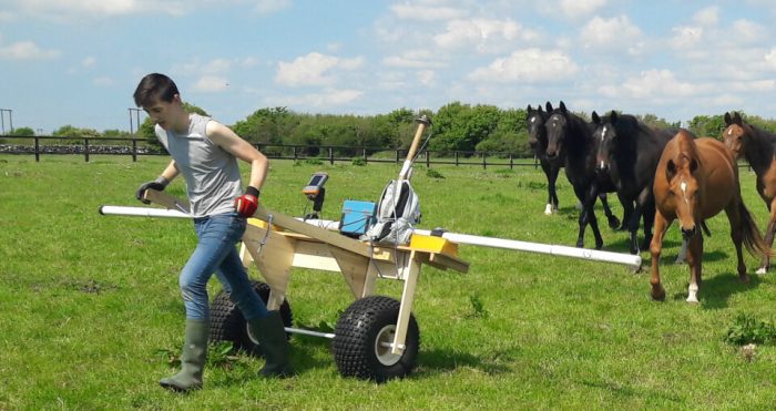
Electromagnetic Ground Conductivity Surveys

Ground Conductivity Surveying
EM survey is done by instruments (EM31, EM38) that emit an electromagnetic field, measure secondary field returning from the subsurface, and then compute ground conductivity.
The conductivity can be determined along lines, on grids and at various depths, all to be set out at the survey planning stage by a geophysical consultant. The main parameters for EM surveys are frequency, coil spacing and station spacing.
Different types of soil and rock have different values of electrical conductivity, thereby giving us an opportunity to distinguish and differentiate between them. Metal objects have an extremely high conductivity thus making excellent targets for detection.
The electromagnetic conductivity of the area measured can be used to figure out things like clay content, moisture saturation, landfill material, leachate plumes, saline intrusions, variations in rockhead and homogeneity or not of ground.
The most common use is as a reconnaissance survey over grids and then to display the conductivities as contour maps or infographic visualisations.
EM Can be used for applications like:
- Determining thicknesses of different layers of the earth
- Locating subsurface voids
- Locating underground storage tanks and drums
- Mapping buried foundations
- Locating the boundaries of landfills
- Mapping landfill leachate migration
- Mapping and monitoring groundwater pollution
