About Us
Helping Engineers, Landowners,
Property Developers & Local Councils

Meet the Team
Minerex Geophysics Limited is supported by an international team of talented Geophysicists, Analysts and Technicians.
Our team’s extensive skills and expertise ensure that the demands and detail needed to complete any surveying project, are done on time and to exact specification.
Meet our Senior Geophysicist
I am Hartmut Krahn, a geophysical scientist, consultant, and managing director of Minerex Geophysics Ltd.
Since 1996, I have personally contributed to over 1600 construction and infrastructure projects in Ireland.
In that time I’ve seen (and heard) just about every type of problem and solution that comes up on a development project site.
My team and I are trusted to deliver accurate and timely subsurface investigation reports by Irish and international consulting engineers, public and private companies, and state bodies.

Find Out What Lies Hidden
Under The Ground & Plan Ahead
Before The Hard, Heavy And Expensive Work Of Drilling & Digging Begins…
Every construction project – residential, commercial, or infrastructure – starts with a plan.
Every plan starts with a survey of the land… And for the survey to be complete, you need to have an accurate picture of what’s under the ground as well as above it.
The best way to find out what’s down there is to drill into the earth then physically inspect core samples and send down probes – or excavate trial pits to see what’s below.
But drilling or digging in the wrong areas gives incomplete or inaccurate information about the site, causing cost overruns later down the road – and there are other risks involved:
- Disturbing existing underground infrastructure.
- Possibility of voids collapsing, earth-slides and on-site accidents causing injury.
- Potential environmental and habitat damage cause.
All of which add up to potential liability for landowners, consultants and contractors.
An Integrated Ground Investigation Programme
And so, the most efficient, safe and clean way to start a subsurface investigation – Is with a strategic drilling or excavation plan of action to:
- Pre-assess site suitability for the project.
- Save wasted time of drilling and digging in the wrong areas.
- Optimise the likelihood of getting useful information from excavations and cores.
- Reduce chances of damage to plant and equipment.
- Prevent risk of disturbing existing subsurface infrastructure.
- Minimise liability for potential damages.

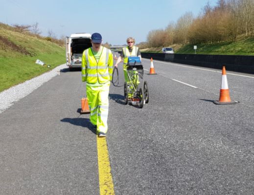
Ground Conductivity Surveying
Here’s Where Geophysical Investigation
Comes Into Play
Geophysics is NOT a replacement for physical ground investigation…
But, it is the best way to prepare and optimise your digging and drilling works plan.
Geophysical investigation IS an excellent way to get useful, actionable data about your project site without any physical movement of the soil.
We Know That Cost Margins
Are Tight On Projects Of Any Size
And contractors HATE surprises – because unplanned changes almost always mean cost overruns.
For fixed-price contracts, that can mean the difference between a profitable success and a loss-making problem.
A geophysical survey of your project site is the most economical way to get a high-resolution plan of what’s underneath the ground – before the digging or drilling begins – saving time, reducing costs and lowering all liability risks.
Geophysics is a niche specialist field in Ireland, and your engineering team needs to work with consultants who you can trust to deliver:
- Reliable data gathered by expert geoscientists.
- Interpreted and presented clearly in accessible reports for all project stakeholders.
- Done quickly and efficiently to minimise delay.

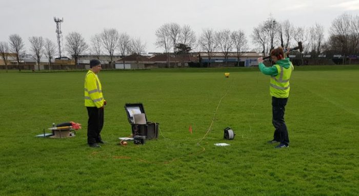
Seismic Surveying
A Trusted Partner
If you’re not 100% absolutely certain about the ground conditions of your next project because:
- You have concerns over the quality of the bedrock that you’re planning to excavate.
- Or you think might be standing on top of an undiscovered archaeological find that can cause long delays…
- If there’s the potential for environmental damage.
- Or any of 100 other possible risks when you have plant on site…
Then you could be on a collision course with a lot of complications.

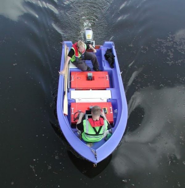
(Marine) Ground Penetrating Radar
Trust Us To Deliver
Reliable data gathered by expert geoscientists
Interpreted and presented clearly in accessible reports for all project stakeholders
Done quickly and efficiently to minimise delay
Get In Touch
if you’re going to proceed with confidence, you need a clear picture of what’s going on underground.
That’s where our team can help you.
The first step is to pick up the phone today and call us at +353-1-6510030
Or email info@mgx.ie with your contact details and we’ll call you back within 24 hours.
