Agriculture – Farming & Forestry
Farming
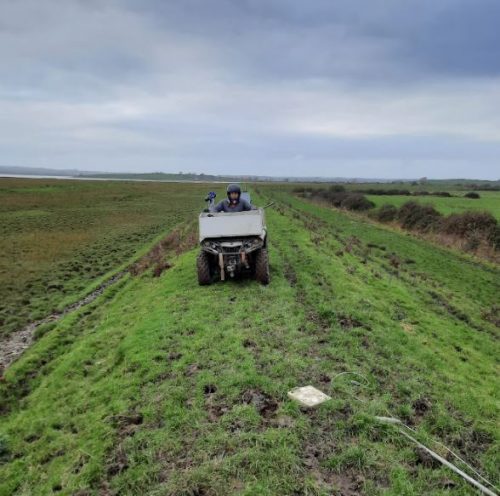
Seismics Surveying
Agri-food is one of Ireland’s leading business sectors, and approximately 65% of the land mass is used for agriculture, most of which is grassland for raising meat and dairy livestock on pasture, and the cutting of hay and silage for winter feeds.
Most of this farmland is privately owned, and less than 0.5% of it comes to the market each year.
As a result, over 30% of Irish farmers lease land to farm on – so surveys are essential to make sure land is suitable for the purpose before contracts are signed.
Peat Land
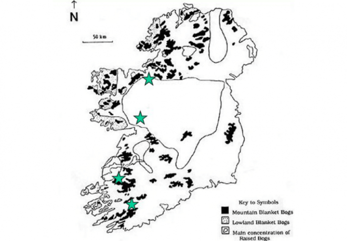
Irish Peat Land
Close to 20% of Irish land is on peat soil. Until recently, the national focus for peat bogs was on cutting solid fuel turf where viable, and reclaiming marginal areas for redevelopment as forest or agricultural land.
Nowadays this has changed because scientific research has established the importance of peatlands as carbon stores.
Peatland owners are working to find new uses for this type of land that is economically productive, but also respects nature and protects wildlife.
The image below shows our results after a client had the objective to determine the peat thickness on a mountain in order to select wind turbine locations. The methodology involved using Ground Penetrating Radar (GPR) equipment coupled with RTK-GPS and pulling the system along the ground to produce the result. The diagram shows the ground surface elevation, the base of peat elevation and peat thickness.

Ground Penetrating Radar Survey Results
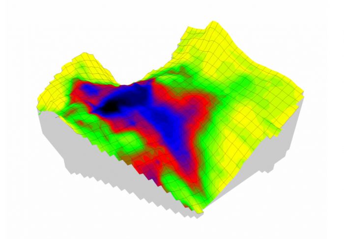
Survey Summary Peat Thickness
Forestry
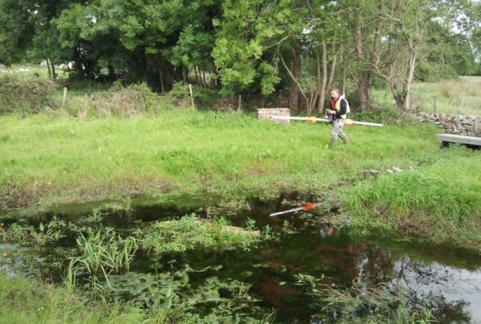
Ground Conductivity Surveying
Ireland has one of the lowest levels of forested land in Europe, less than a third of the average EU member country.
Because of the recent world focus on carbon emissions, and evidence of the role of tree planting in carbon capture, the stated goal of our government is to increase Ireland’s forest land from 11% to 18%
Forestry investments are strongly encouraged by Irish government and European Union incentive grants and tax reduction schemes. Demand for forestry products is also somewhat recession-proof as wood and tree pulp are used in many basic everyday materials.
Foresting of underutilized land has now become an attractive investment to not only landowners, but private investors and financial institutions too. Several forestry investment management companies have been formed in Ireland to manage the whole process from seed to mill.
Geophysical Land Surveying For Forestry & Farming
Before landowners, farmers & foresters can come to a decision about how best to put land to use, they need to know what type of activities the land can support.
Important factors to consider include:
- Depth of the soil
- Mineral composition of the soil
- Existence and accessibility of subsurface water sources
- Slope and drainage capability of the land
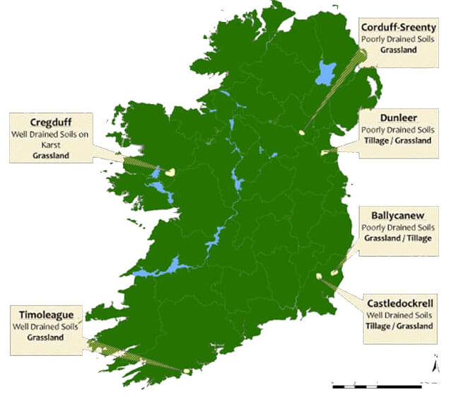
Minerex Geophysics have surveyed farmland for national organisations like Teagasc for their catchments programme.
A geophysical survey by Minerex Geophysics is an important decision making tool for the farmer and forester to decide on land use and planting, also for drainage design.
Our typical solution for this type of project is a large area ground conductivity and resistivity survey to determine the clay content of the soil and therefore the soil permeability and drainage properties.
