Protect Undiscovered History
Before construction starts…
Protect undiscovered historical sites and valuable artifacts from accidental damage by scanning the soil before you dig, using non-destructive instruments & sensors.

Ground Penetrating Radar Surveying
Archaeological Geophysics

Ground Penetrating Radar Survey (GPR)
Any object buried in the subsurface is a potential target for a geophysical survey. As part of a planning application, archaeological and environmental impact assessments often require a geophysical survey.
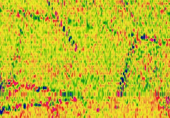
A geophysical survey will detect and define archaeological structures and features that may be hidden beneath the soil.
Most assessments take place in advance of projects like road or pipe corridors, building of houses, industrial development, and mineral extraction sites, but sometimes there is an unexpected find on-site which needs careful investigation.
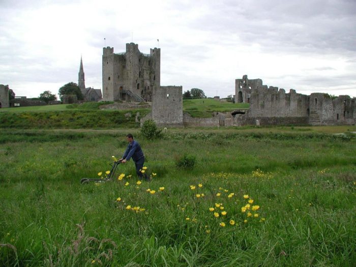
Where there are known or visible archaeological monuments, a geophysical survey can assess the hidden sub-surface and prospect for undiscovered monuments in the locality.
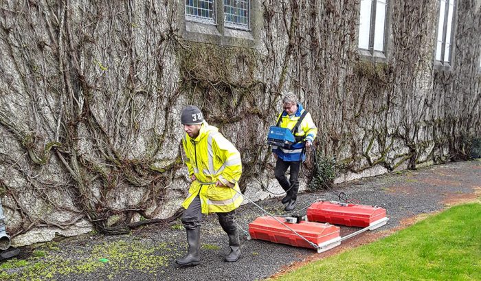
Geophysical surveys use non-invasive survey techniques, bringing to light objects, tunnels, foundations, and deposits that have been hidden in the soil for hundreds or thousands of years.
Main Methods
-
- Magnetic Gradiometry
- Earth Resistance & EM
- Ground Penetrating Radar (GPR)
- 2D-Resistivity (ERT)
Main Targets
-
- Burnt Mounds, Kilns, Middens
- Souterrains, Foundations, Drains
- Ring Forts, Enclosures, Divisions
- Burial Sites, Graves, Habitation Sites
The most commonly used and suitable survey method is magnetic gradiometry which can be carried out fast and efficiently over large areas and has a high detection rate to determine the presence of subsurface archaeology.

