How We Scan, Measure & Map Your Site
Geophysical Investigation Methods
Geophysical surveys are done using a combination of methods to build up a detailed picture of the shape and composition of the subsurface.
Collecting site data is the starting point for every project, but the important value-add of geophysical science is turning that data into visual images and descriptive reports to help clients make engineering and business decisions about their project sites.
Here is how we get that data:
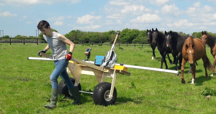
Ground Conductivity Surveying
Electromagnetic Ground Conductivity Surveys
EM survey is done by instruments (EM31, EM38) that emit an electromagnetic field.
Different types of soil, rock and metal have different values of electrical conductivity, and our instruments can tell the difference between them.
We recorded conductivity by taking measurements along lines, on map grids and at various depths. We then combine the data with map grid points to display the conductivities as contour maps or infographic visualisations.
The electromagnetic conductivity of the area measured can be used to figure out information about the soil and rock underground – like clay content, moisture saturation, presence of landfill material, and more.
EM Can be used for applications like:
- Determining thicknesses of different layers of the earth
- Locating subsurface voids
- Locating underground storage tanks and drums
- Mapping buried foundations
- Locating the boundaries of landfills
- Mapping landfill leachate migration
- Mapping and monitoring groundwater pollution
2D / 3D Resistivity (Electrical Resistivity Tomography)
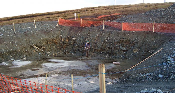
Electrical Resistivity Tomography
Resistivity methods use small electrical currents sent through small metal spikes called electrodes.
Resistivity meters measure ground resistivity between 2 points and the measurements can tell us what materials are in the the ground.
Clay has a low resistivity while sand and gravel have high resistivity, water saturated zones have a lower resistivity like dry zones, many rock types have high resistivity and sulphides, metal and ore bodies have low values.
By using many electrodes along lines or grids, resistivity can be measured at several hundreds or even thousands of points to locate historic landfills, ground water bearing zones in rock and overburden, saline intrusions or tunnels and caves.
Seismic Refraction & Reflection (p-wave)
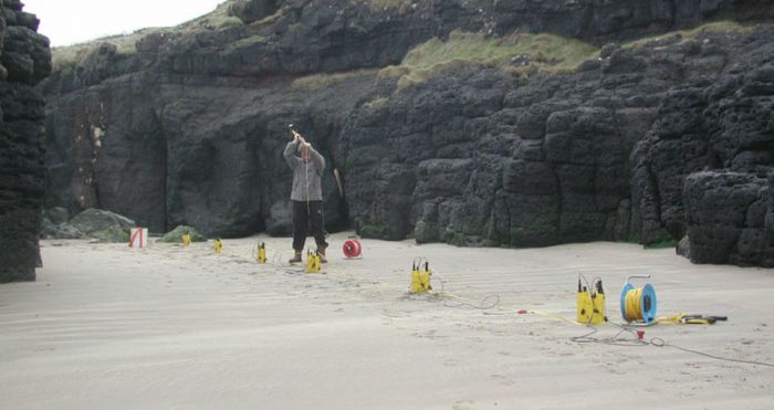
Seismic Surveying
Seismic methods are measuring the velocity and movements of seismic waves through the earth, using instruments including seismographs and geophones.
This is done by sending an energy pulse into the ground – using a hammer and plate,a drop weight, specialised airguns, or small controlled explosives at surface level.
An array of geophones are used to detect the seismic energy when it ‘bounces back’ and returns to the ground surface.
Seismic refraction uses elastic waves refracted at earth layers and travelling long distances along the earth. This can help to determine the depth to rock, the rippability and excavatability of rock and for showing the thickness and stiffness of the different subsurface layers.
Seismic reflection uses reflections that bounce back near-vertically from layer interfaces. The seismic velocity is an excellent indicator for the compaction or stiffness of overburden materials and for the type and quality of rock. Reflection is used for deeper studies like minerals, oil and gas exploration.
Multichannel Surface Wave Analysis (MASW)
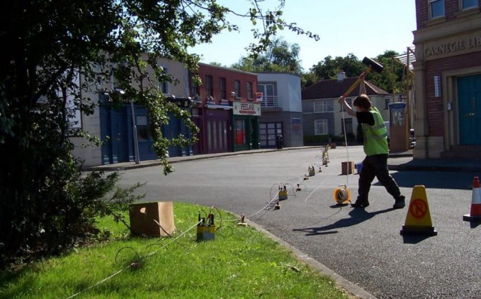
Seismic Surveying in Fair City
MASW uses geophones, a sledgehammer and a seismograph to create seismic waves, almost like ‘mini-earthquakes’.
Surveys are commonly done as 1D measurements or 2D-cross sections.
MASW is used to analyse the density of upper layers of soil, and to test the compaction of fill material at road or other construction sites.
Ground Penetrating Radar (GPR)
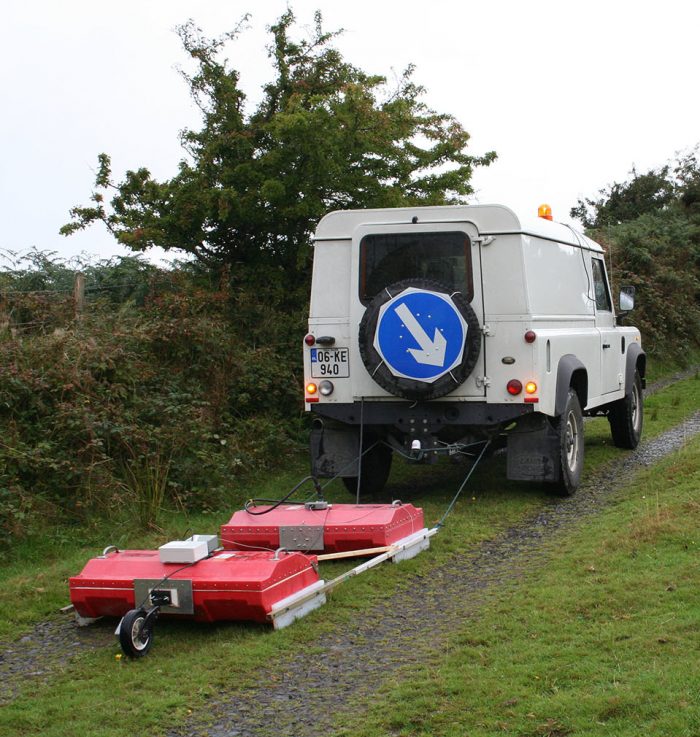
Ground Penetrating Radar Surveying
GPR works on the radar principle, transmitting pulses of radio wave energy into the ground and measuring their reflection to create a cross-section image of different materials layers, boundaries and objects under the surface.
We use GPR to locate objects and archaeological deposits, determine peat and sand and gravel thickness, and to determine intra-rock features like karst where the rock is very shallow.
GPR data is very rich and helps us to create highly detailed 2D and 3D images of under the ground.
Microgravity
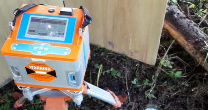
By taking measurements of gravity at ground level, and comparing them, we can see which areas show stronger gravitational and weaker gravitational force.
The areas with low gravity force indicate less dense materials below: air-filled caves, underground water sources, or cavities filled with looser sediments. High gravity areas are filled with dense materials like clay, rock and metal.
Microgravity measurements are very useful for mapping underground features of large scale projects like roads and commercial development sites.
Magnetic Surveying
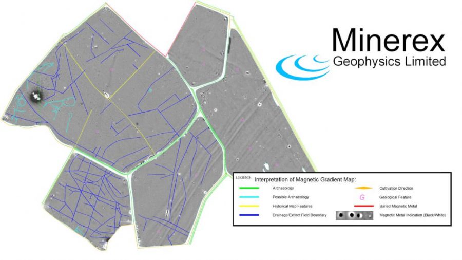
Humans have known about the magnetic properties of certain rocks for thousands of years, and developed an understanding that the Earth is in fact a ‘giant magnet’ about 800 years ago.
At the start of the industrial revolution in the 1700s, magnetic surveys were the first geophysical technique widely used to discover deposits of iron ore for mining and processing into steel.
Today, magnetic surveying is done using magnetometers that can give detailed readings of magnetic fields.
This data helps us estimate the size and depth of objects ranging from unexploded bombs to treasures or ore bodies.
Magnetic surveys are great to detect metal pipelines, archaeological features, buried waste, and large scale geology.
Like our other methods, we can take a large number of readings along lines or on map grids using GPS to give deeper data and create more detailed graphs and contour map images.
Metal Detection (EM61)
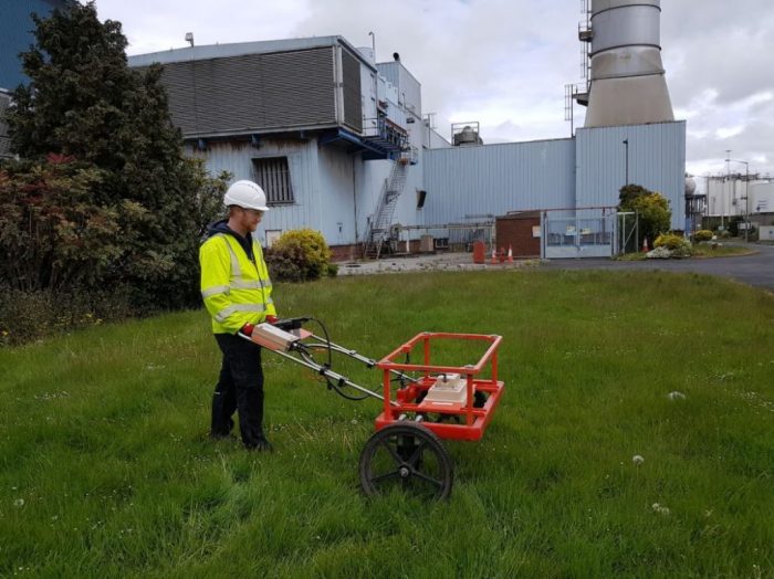
The EM61 Is a powerful and highly accurate metal detector that can locate many types of metal to several metres depth below the surface.
For example, a single 200 litre (55 gallon) steel drum can be detected at depths greater than three metres.
The EM61 metal detector is compatible with high accuracy GNSS positioning systems. Using the EM61, our geophysicists can search underground for:
- environmental hazards like drums and storage tanks
- infrastructure like trenched cables
- old covered landfill
- industrial waste
- Unexploded ordnance
- Hidden foundations and other metal-containing structures
