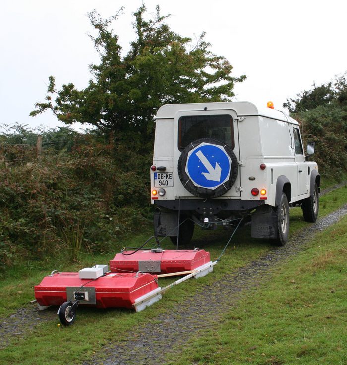
Ground Penetrating Radar (GPR)
GPR works on the radar principle, but underground, transmitting pulses of radio wave energy into the ground and measuring their reflection to create a cross-section image of different materials layers, boundaries and objects under the surface.
Different radio frequencies are used for different applications – higher frequencies give higher resolution data at shallow depths, and lower frequencies can be used to get information from deeper areas below the ground.
Our strength is that we routinely use a range of GPR antennas with 100 MHz, 200 MHz, 400 MHz, 900 MHz and 1.6 GHz frequencies. Other survey parameters include scan and line spacing to ensure adequate and cost effective surveying over large areas. GPS integration is commonly used for faster data acquisition and precise positioning
Waves are reflected from surfaces where the dielectric permittivity of the ground changes, especially at metal objects, water content changes, clay, peat and rock interfaces.
The method is routinely used to locate objects and archaeological deposits, determine peat and sand and gravel thickness, and to determine intra-rock features like karst where the rock is very shallow.
GPR data processing can use a large amount of processes like filtering, velocity analysis, modelling, migration, depth conversion leading to displays as cross section or x, y or z cuts through 3D-Data-Cubes.

